Brisbane expected to get 80mm of rain, while damaging winds, large hail and possible flash flooding on the cards for Queensland

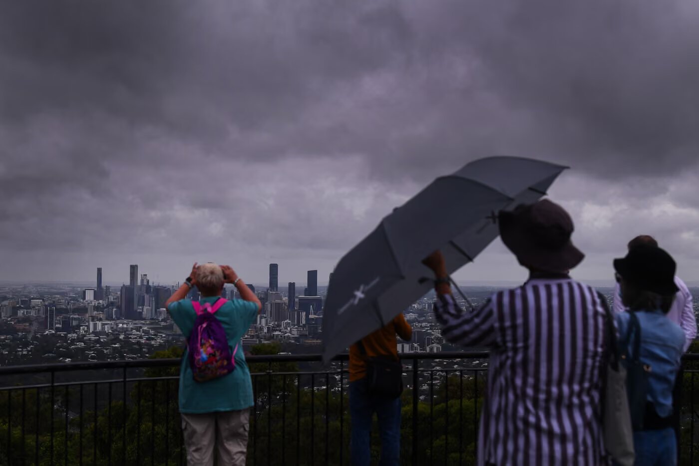
A weekend of wet weather is set to start across the country from Friday, with the Bureau of Meteorology forecasting severe storms across eastern parts of Australia, particularly in Queensland.
Showers and storms were forecast in all states and territories over the weekend, but north-eastern parts of New South Wales and south-east Queensland would be “particularly wet” and with severe storms expected, according to the bureau.
The BoM senior meteorologist Sarah Scully said those parts of both states “may see damaging winds, large hail or heavy rainfall that could cause flash flooding”.
Brisbane was expected to get rainfall of up to 80mm between Friday and Sunday, with damaging storms likely to develop on Friday night and hang around for most of the weekend.
On Friday evening, the BoM issued a severe weather warning for heavy rainfall that may lead to flash flooding, large hailstones and damaging winds affecting Toowoomba, Brisbane, Maroochydore, Ipswich, Cleveland, Gatton, Caboolture, near Crows Nest, the area south-west of Esk, northern Bribie Island and Somerset Dam.
There were reportedly 11,000 houses experiencing blackouts across Brisbane, Logan, Ipswich, Redland, Moreton Bay, Gold Coast, Scenic Rim, Somerset and Toowoomba areas.
The bureau forecast that storms in the Darling Downs, south-east and parts of Maranoa and Warrego could be severe – just two weeks after supercell storms wreaked havoc in the region.
This weekend marks the fifth consecutive one of severe storms in south-east Queensland, including supercell storms, “considered to be the most long-lived and dangerous of thunderstorms”.
“We’re well and truly into the severe weather season,” Scully said.
It was set to be a cooler start to the weekend in Sydney, with people waking up to a low of 17C on Saturday morning before warming up to 27C later in the day and a top of 31C on Sunday.
But it was forecast to be “a wet Saturday”, Scully said, with potential for showers and a possible afternoon or evening storm too.
“Saturday is sort of the peak day for the Sydney area, with the worst of the showers and the storms moving offshore by Sunday,” she said.
Severe storms were also possible for “the south coast, extending into the ranges and then extending right up into the Blue Mountains”.
In Melbourne, temperatures were forecast to reach a top of 21C on both Saturday and Sunday, but a low of 11C would mean a colder start to the weekend in that city too, with thunderstorms possible in the morning.
On Sunday, Melbourne was forecast to receive showers in the afternoon and evening, including a possible thunderstorm to finish the weekend.
Showers and storms were expected across northern parts of Western Australia from Friday until Sunday, while Perth would avoid all the wet weather with sunny skies bringing a top of 25C on Saturday and 29C on Saturday.
The BoM also warned a possible tropical low cyclone could form north of the Kimberley or Northern Territory next week, though chances remained low as of Friday.
Scully said the showers and storms expected across the country this weekend were caused by “multiple troughs of low pressure that’s combining with tropical moisture”.
“This trough tomorrow will extend all the way down eastern Australia into the south-east, drawing a cloud band as far south as Tasmania,” she said.
Aside from the wet weather, Scully also warned of fire danger ratings that were “expected to reach extreme” this weekend through the NSW central and southern slopes and plains.